Thursday, June 12, 2014

Marshall Wall-Mt Tam Century (2014)

(June 7, 2014) Marshall Wall Loop with Mt Tam Bonus--Marshall Loop with Diablo Cyclists; Ward, Christine, Jeanne, Vlad, Young Andy, R Craig, Robert-R Craig's Friend, Kristine, John-Corn Guy, 43 miles, then 59 solo up and over Mt Tam.  103 miles, 7,000+ climbing


Red is outbound portion, orange starts when coming back from top of Mt Tam
We had a very different group on the Club ride, considering Ward, Jeanne and I were the grizzled Club vets.   None of the real old timers were on the ride.  Only us pseudo old timers and Christine ever did this great metric loop.   Vlad and Andy are powerhouses on the flats and this course is fairly fast, but with enough climbs thrown in to keep everyone honest.  Short but steep Big Rock-Cheese Factory Climb-Marshall Wall climb, the basic metric loop has about 3,700' climbing.  Though the Diablo Cyclists have no "ride leaders" we have sensible regroups so after a climb we could all stay together--especially to paceline down Highway 1.

Problem is that 60 miles and 3,700' climbing ain't gonna cut it for me.  My fun is over; the Sierra Century with 10,000' of rollers is now gone.  The Alta Alpina 5 and Mt Shasta Summit Century are coming up and they just have long, long, long, sustained climbs.  Though I wanted to do the whole ride with the club, nearby Mt. Tam had to be done.

Mt. Tam is very unique, as both sides are totally different.  From the Coast Mt. Tam is one long, steady, sustained climb.  From Fairfax (inland) Mt. Tam is my favorite, a steady climb with a sudden drop down where you will have to reclimb the elevation you lost on the downhill, but this time on a series of hairpins that intermittently KICK the grade up.

I'd have loved to come in from the inland side but two problems.  I'd then split from the Club with only 10 miles from the cars, and it would be too tempting to blow off the bonus miles.   Additionally, to get to Fairfax involves two sections of serious rollers/ climbs.  To get to Mt. Tam on the Coast is a little easier, involves continuing on Highway 1 for 11 miles, and turning where the  "Welcome to Bolinas" sign was torn down.  So the add on would be "from the ocean" side.

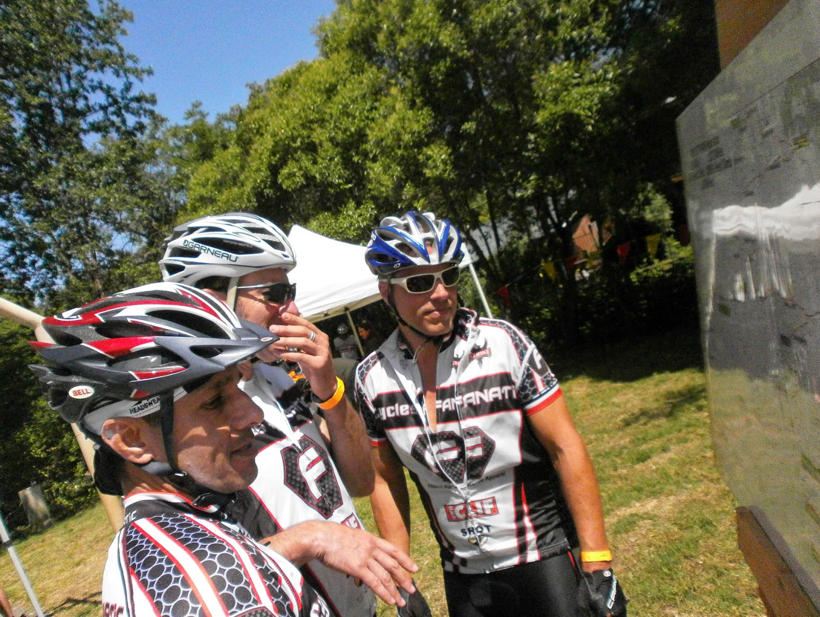
I was doubly lucky that Christine had a gift for me at the start of the ride so I had to go back to my car (our cars parked all over as usual spots taken over for nearby 'Swim Meet') When I got back to car  I realized I yet again forgot something at the start.  I once forgot to pull off my garbageman gloves and replace them with riding gloves.  Today I forgot my head & tail lights; putting them on made me feel much better when soloing down and overcast Highway 1.

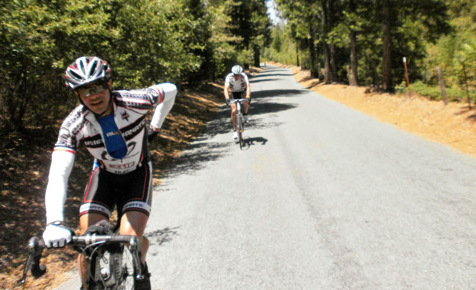
The metric loop was great where a funny thing happened.  We didn't have any of our top climbers on the ride, Mark and two Dave's, so I could set the pace on the climbs instead of chasing.   On two climbs I didn't think I was going up nearly as hard as when I chased Dr. Dave and Mark around all day last time.  But on Big Rock (.9 mile, 8%)  I was 28 seconds faster and on the Marshall Wall (1.4 miles, headwind, 6%) 55 seconds faster.  Either my fitness has gotten better in the last 1 1/2 months or it pays not to overexert yourself at the beginning of a climb.

Now on the third, the Cheese Factory Climb (1.4 miles, 5%), I did go up hard.  A couple on Colnagos decorated with Italian Flag saddles came off our paceline and started storming up the climb and I was determined to stay with the.  Guy was nice and he had a relaxed ez sitting spin but the woman was standing more than me and her bike was sliding all over the road as she stomped the pedals.  I didn't dare ride side by side with her as she was moving over 1' with each pedal stroke.  Crap-is this how I waste energy on climbs?  I stayed with them and did the climb 48 seconds faster than 1 1/2 months ago.
Chris and Kris in the paceline when we start out on Lucas Valley Road.   Vlad and Andy in back of them and thankfully not contributing to further name confusion
I'm with Christine before the Cheese Factory Climb.  Her shifter/ cable is about to go wacko.

Meanwhile Christine broke a cable and after a Ward fix had to do the rest of the ride in the middle ring.   We had a good working paceline out to the Marshall Wall.  Vlad started it out and riding behind him was like riding behind Fabian Cancellara.  Luckily he chose to keep the pace modest and not throw in some 800w digs.    Poor (new to our Club) Kris--when she went to the front a large string of motorcycles passed us so she had to stay on the front for awhile.

Christine cycles past the Hick Valley School.  Many one room schoolhouses sprinkled around in the area.
Vlad and Andy lead the disintegrating paceline into the great Marshall Wall run in.  
When I got up to the top of the Marshall Wall I pulled over to take photos of our group, John the Corn guy sped past and continued on, not realizing we would minimally regroup when we came to Highway 1 so we could paceline in.  (Group also waited at the top so I could put camera away.)  Next time we saw John he was attaching a big ear of BBQ corn in Pt Reyes Station.
Kris starts the Marshall Wall climb.


Andy on the ridgeline on top of the Marshall Wall.

Ward and Christine at the top of the Marshall Wall...

...Ward didn't remember his time in the first photo so he goes past again.

Jeanne at the top of the Marshall Wall (WI)
Group photo at the top of the Marshall Wall except for John who raced down to get BBQ corn.
Group coming down the Marshall Wall after ringing the Peace Bell at the church in the background

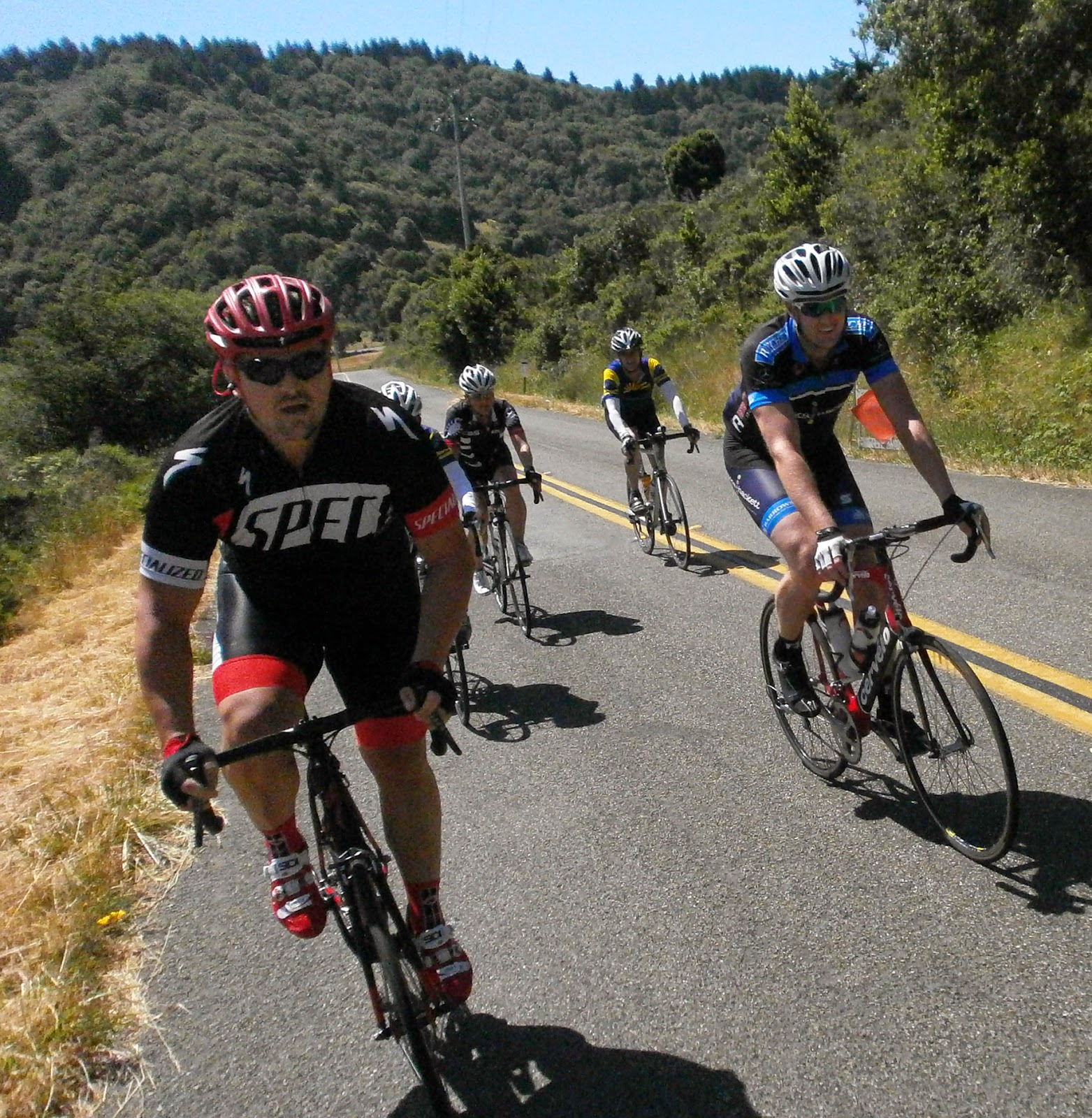
Weather and paceline was perfect along Highway 1 to Pt. Reyes Station, except for the chaos at the handful of oyster bar parking lots where drivers have their heads in their butts.   I love this part of Highway 1 as lots of "fun rollers"   and most of our group stayed together nicely.  You can hear Jim Morrison:
Can you give me some fun roller?
I must find a place to ride
A place for me to ride  
The paceline going down Highway 1


Closeups from the Paceline (WI)

Pt. Reyes Station was jammed with cyclists and I had called the bakery ahead for my "Whole Wheat Vegan Oat Scone," which has one newbee in our group think I was a vegetarian.   (Sacto Doug would be sooooo happy)  Andy and Vlad must have called ahead as they got the BBQ Sandwich special--I thought Andy had brought back food for all of us.  In reality, I'm just jealous of riders who can eat alot on hot days, the Collen and Kitty's who can get a sandwich with onions, guacamole, pickles.... while I'm having a slice of plain bread and one slice of deli meat.
Ward jubilant that he beat me in the soapbox derby--podium girl Christine with the soap presentation

Vlad and Andy emphasise LUNCH at the Pt Reyes Lunch stop.   (There is more deli on Andy's sandwich that that in the whole Organic Cafe in Placerville--home of the tasty turkey sandwich.)
Fun over--time to depart from the group.  Luckily I put on a blinking head and taillight.  Not alot of traffic on this inland portion of Highway 1--maybe 1 car a minute--but no shoulder and slow with lots of medium sized rollers.   Even worse was it started getting overcast, breezy and cool--maybe the only place in the Bay Area on Saturday to be able to say this.  OK, I whine about it being cold, but it wasn't cold enough to stop and put back on a vest and arm warmers.  But I thought about it, alot.  Ward and Christine thought I'd miss the unmarked turnoff, which is right across the unmarked turnoff to Bolinas--as they recall when our group missed this chasing Rebecca down Highway 1 a few years ago.  But I did my homework and knew it would be about a mile after the Dogtown Art sign.
From the archives-in about a mile to the right is the unmarked road to Bolinas, to the left is the road up Mt. Tam.

The climb up to the Mt. Tam ridgeline in Fairfax-Bolinas Road is a 4 mile 7% climb along a narrow, unstripped, undulating road with little vehicle traffic (most cars are going up Mt Tam on a "more regular" road near Stinson Beach further down the Coast.)  The straight portions seem easier than 7% with a sprinkling of hairpins that pack some of the kick you get from the other side.  I enjoyed the climb as the overcast hung below and the sun was soon full out until I hit the redwood tree line.   How many times did I try to follow the piano line in ELO's 'Evil Woman' repeating in my head?

 above (1) Looking back at foggy Bolinas at the start of the Mt Tam climb; (2) the sign and the redwoods at the start of the "7 Sisters" ridgeline
 (below) (3) Looking at the Pacific, or the clouds hanging over the Pacific, from the sunny Mt. Tam Ridgeline (4) Looking ahead at a fun "7 sisters" roller (5) San Francisco far in the distant cloud bank from the top of Mt Tam


As Dr. Dave is fond to note, the climb to the ridgeline is only half the battle.  The Mt Tam ridgeline, aka the 7 sisters", is 4 miles at 2%, but that average grade doesn't mean much as the sisters are all long uphill rollers (generally .3-.7 miles, 3-9% grade.), with short dowhills between them.   You look down and see the Pacific Ocean--oh wait, that's not the Pacific, those are low lying clouds.   Eventually you get a great view of San Francisco.

Only two problems ruining the festivities.  My Garmin (not power meter for once) said "low battery"--I stupidly had useless backlight on high all day.  I hoped to save the ride at the "top" of Mt. Tam, and then didn't care if I ran out of power.  Meanwhile, I kept thinking about the 36 mile ride back to my car.  While the return trip on "the Sisters" ridgeline is fast, the downhill on BoFax road is too narrow and curvy for me to enjoy, Then there is a long climb from Alpine Dam in the Mt. Tam basin, a long hill out of Fairfax, eventually followed followed by a few steep rollers back to Nicasio, I needed to conserve energy on Mt. Tam.    Man--this warm sports drink sucks--time to get a banana and soda at the CLOSED snack shack at the top of Tam.  Fuck.

 Approaching Alpine Lake and then the view when its behind you on the reclimb (Mt Tam ridgeline in the background)


Recumbent car in Fairfax where you are always guaranteed to see something strange and CLOSE THE FN OYSTER FARM, BARS--then maybe area drivers will get their heads out of their ass


Had to wait until back in Fairfax for the cold Gatoraid, Soda, Banana and Frozen Fruit Bar.  Nothing really strange in Fairfax, there is usually a 1960's throwback sighting, until leaving town when I saw a recumbent car.   The climbs were OK--just slow and I wanted the day to end--or at least get to Lucas Valley Road.  Lucas Valley road is mostly a gentle climb and always has an afternoon tailwind, and once again it didn't disappoint.  From this side the Big Rock Climb is much shorter (.2 miles @ 6% vs. .9 miles @ 8%), which is a great distance for me.  I wish I had Garmin power to measure how I did, but so be it.  The last 8 miles shot by  as I thought of all the times finishing the Mt Tam Double race--sometimes catching someone along this stretch and sometimes hammering for naught but always feeling great.

Monday, June 2, 2014

Sierra Century Double Metric (2014)

(May 31, 2014) Sierra Century Double Metric, 124 miles, 10,000' climbing.    w/ Dr. Dave.  Started with Mountain Bike Racer Jerry (who I 1st rode this with in 2003.)   We joined up with Cisco Dave (30th-2013 DMD) , "I am not a Climber "Fredrik (10th-2013 DMD, 21st-2014 DMD) and Blinky Ray (26th-2013 DMD) at 2nd rest stop.  Jerry dropped off, Fredrik took off and it was the two Daves, Ray and me for most of the ride, 15.5 mph.
Route map & elevation.  First follow orange arrows to Fiddletown and up Slug Gulch/ El Dorado National Forest, blue arrows 2nd time to Fiddletown and back to Plymouth.

Dr. Dave and Jerry on climb out of Ione
Fredrik and Ray at rest stop on the way to Volcano

Someone emailed me for a ride report and since I put it in one paragraph there is no reason for me to write 'War and Peace' about this great ride.  The email:

Dr Dave killed Slug Gulch--I killed the steep rollers--we both slammed down the Fiddletown freeway the 1st time chasing a guy wearing a non Flanders, non New Zealand foreign jersey.  I was pissed that I got dropped on the initial steep descent--we eventually worked as a team with the guy wearing a London Underground jersey.   Dr Dave and I finally agreed once our thumb thawed out from the initial 45 degrees that the weather was perfect.  Dr. Dave and I were constantly mathematically challenged; we agreed to keep our power below 250 watts before the Slug Gulch climb--and we constantly shouted out "is 375 less than 250?"  Dr. Dave and I met up with the Cisco Dave group in 35 miles and rode with him and Blinky Ray, who wasn't feeling well at the start, for the rest of the day; while Fredrik eventually took off (all three finished 30th or better on DMD in the last two years.) Slug Gulch wasn't bad; when I got to the top I rode back down 1/2 mile to make sure our group was all together.   Joanie ('on your left') was once of the chief rest stop workers at the top of Omo Ranch where everyone got deluxe treatment. Well maybe not Fredrik as he might have just grabbed a new water bottle as he sped past.  El Dorado National Forest was perfect, esp with a little cooler weather than in the past. Ray was the man of the match doing Slug Gulch while hurting but he enjoyed the ride.  When we joined with the 100 milers they were coming off a downhill and some passed without calling out, so we then raced a few of them in.  Dr. Dave and I happy with our speed/ endurance; on the significant "Strava Sections" we were faster than 80-85% of the riders that day--though much slower than those at 90%, (which is where Fredrik and Cisco would be if they were on Strava), including one woman, Sarah, who shot up every climb. Great day.  Glad I'm not slowing down as much as I was trending downward last year.  

Let me use the rest of this space to give you the TWENTY-FOUR REASONS why the SIERRA DOUBLE METRIC CENTURY is the  GREATEST organized ride in California.

1) Day Before EZ Spin--Lots of nice possibilities for ez spin the day before.   One of the best is the 24 mile round trip between Sutter Creek and Volcano (see #5 below.)  At Volcano, water, bathrooms, and idyllic setting for carbo loading in either the Volcano Park or Mayor Rosie's bench on the porch in front of the General Store.
Day before ez spin, I'm above Sutter Creek near Volcano


2) Day before sightseeing/ dining options--Old West ambiance with collectible possibilities on main street Jackson or Sutter Creek.   Lots of unique dining, one favorite is the Imperial Hotel, elegant dining in an almost ghost town.
Imperial Hotel dining room, Amador City

Dr Dave in the heart of bustling Amador City, may be as crowded as Times Square


Something for everyone--Lots of varied sections--Mix of flats, downhills, rollers and climbs.
3) To Ione.   About 15 miles on a series of fast rollers.
Jerry on the fast section of the course from Plymouth to Ione

4) To Sutter Creek.  About 6 miles on a series of attention getting rollers (aka mini hills)
5) To Volcano.  Twelve miles of a mostly very gradual (1%) uphill along a road shaded with oak and California Buckeye and Sutter Creek running nearby.  (Road does kick up for the last three miles)
Dr Dave on the road to Volcano


Fredrik on the road to Volcano, why is he going the opposite way of Dr. Dave?  Eventually we didn't see Fredrik and didn't know if he got lost or finished way before the rest of us, which is what he did. 

6) Rams Horn Climb.  Two and a half mile steady climb of 6% with another mile of uphill rollers at the top.  Sun is coming up but road is nicely shaded by tall pine trees.
7) Fiddletown Expressway.   Twelve miles of downhill punctuated by a series of fast rollers.  An E ticket ride.  This is so much fun no one minds doing it twice on the ride.
Cisco Dave, Ray and Fredrik discover that we get to do the Fiddletown Freeway another time. That seals it for Ray, he'll continue on.

8) Slug Gulch.  The serious climb of the day, 5 miles at 6% but most of the climb is packed in the first half with many double digit sections.  Lead in to Slug Gulch is no picnic as Perry Creek has some serious rollers but is well shaded.
The two Dave's on Perry Creek Road


Cisco Dave at the end of Slug Gulch
9) El Dorado National Forest. Twelve miles through the pine trees in the EL Dorado National Forest at 4,000'.  Mostly gentle climbing with a few kicks, and some great views at the end of the rolling hills filled with pine trees.
I'm having a great time in the El Dorado National Forest (Cisco Dave)

Dr. Dave is enjoying this ride as much as I am. 
10) Omo Ranch Road.   About eight miles of mostly downhill among houses sparsely placed near the pine forest, punctuated by some rollers, getting you back to Fiddletown.

11) 90% of the ride on good-excellent road surfaces with virtually no traffic.  Only notable exceptions re road surface are the middle 4 miles to Volcano and 9 miles of real crappy (Sonoma County like) roads through an oak forest getting you from Fiddletown to Mt Aukum-Fairplay.   

12) Virtually no motor traffic!  Only real traffic is early morning for two miles along Highway 16 and one mile climb out of Ione on Highway 104--but  both sections have a good shoulder.   Later you go screaming downhill on Highway 88 for about three miles, much with no shoulder, but there is virtually no traffic on this road. 

13) Less than a dozen traffic controls and about half of these are a series of stop signs streets when rolling through Ione.

Oh Wow Spots (aka Kodak Moments)
14) Sutter Creek--Making the sudden left turn and seeing main street Sutter Creek, the Jewel of the Mother Lode.
15) Volcano--population 108 and the St George Hotel perched onto of the roller into Volcano, the oh wow view is the stone amphitheater.
Entering Volcano


The day before in Volcano riding on the pave-the Cobblestone Theatre should show "A Sunday in Hell'

An "oh wow" moment in Volcano when Cisco Dave discovers this food ain't free

A few seconds of the great ride through the El Dorado National Forest (Cisco Dave)

16) El Dorado National Forest encasing you in pine trees, with glimpses of the valleys off to the side covered with more pine.

Sacramento Wheelmen Support
The Sacramento Wheelmen got your backside

17) Check in (and start/ end) of ride at the Amador Fairgrounds that resembles an old western town.  One of the two most quaint/ picturesque California County fairgrounds (the other being Humboldt) that I've seen.
Dr Dave and I at the day before checkin at the Amador Fairgrounds

18) Preride Checkin--the Sacramento Wheelmen great support starts at ez pre ride checkin with food (This year fruit salad and antipasto)--you think you are part of a Club social event.
Food at the preride checkin

19) Start with ez parking, real bathrooms, food and coffee at the Amador Fairgrounds.
Early morning at the Amador Fairgrounds before the start of the ride

20) Rest stops nicely spaced and right after all the signature climbs (mile 20-35-46-59-74-83-95-@110)  (OK, they have to work on Fiddletown #2 rest stop at mile 110 which was still open but depressingly was closing up shop when we pulled in, and many riders still behind us.)
21) One of greatest rest stops ever at Mt Aukum School after Slug Gulch.  At 3,000' in school yard surrounded by tall pine trees and wading pool (foot bath) set up.

Doug at the Mt Aukum school--when the rest stop closes I know we'll find him on the swings.  Great Sacramento Wheelmen support.

22) Free food in Volcano by local merchants just for the taking by cyclists (Cisco Dave asked me to put this one in, no one else knew about it)
23) Sacramento Wheelmen rest stops well stocked with plenty of ice, and surprise treats like Ice Coffee before Slug Gulch, and Ice Bars at Mt Aukum. 
24) Free Jewelry-a Slug Gulch pin once you complete the climb.

(top) Ray and (below) Cicso Dave after last climb (honest Ray) right before we join in with 100 milers for last 5 miles of ride.

25) End of ride meal at the Amador Fairgrounds.  Nice food and venue to discuss the highlights of the day.
Another great Slug Gulch Sierra Century.